Maps of the Keweenaw Peninsula |
Browse the maps by type, look carefully at the air photos and read the location info. |
Location Info:
City:
County:
GPS:
Directions from Grand Rapids:
Noted features:
Approx elevation:
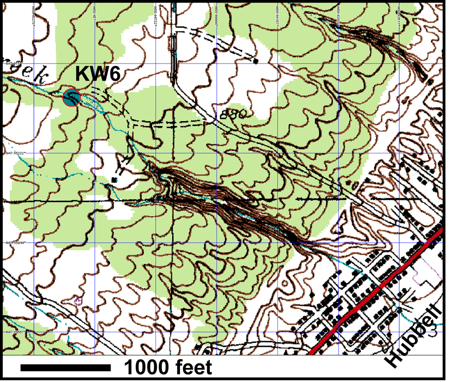
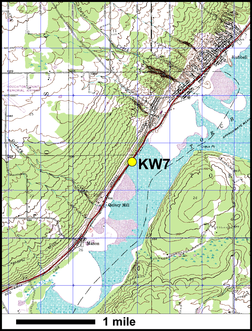
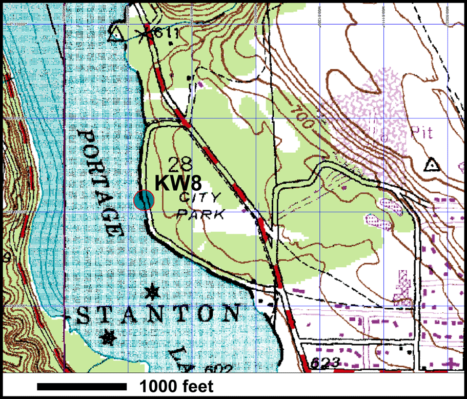
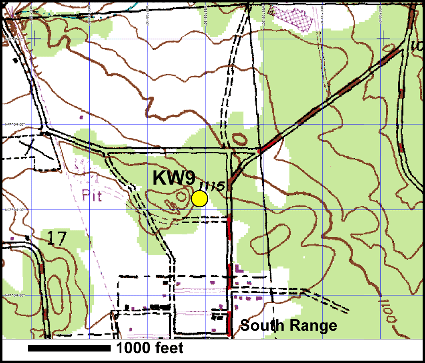
Location Key: |
|---|
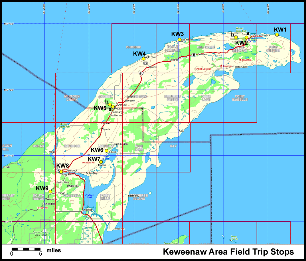
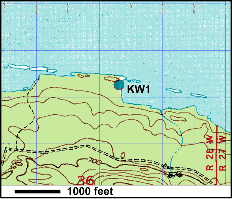
KW1 -- Horseshoe Harbor |
| Tours | Photos | Videos | References | Maps | KP Home | Home |
Map Index
Click to enlarge any map. Maximize for best view.
Horseshoe Harbor |
|
|---|---|
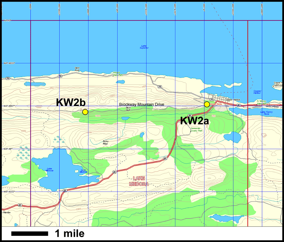
Brockway Mountain Drive. a) Overlook at east end of ridge. b) Top of mountain overlook. |
|
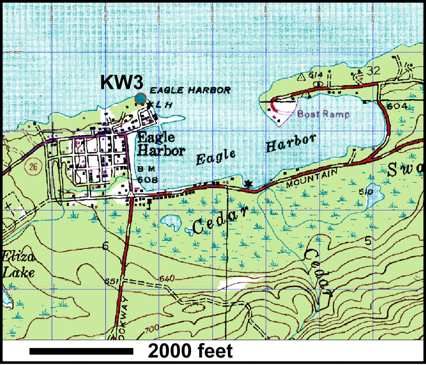
| Eagle Harbor. Basalt Flows within Copper Harbor Conglomerate unit. | |
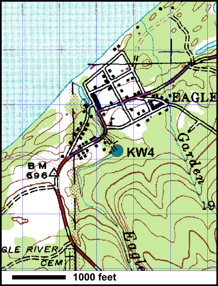
| Eagle River Falls. Conglomerate-basalt contact dipping north. | |
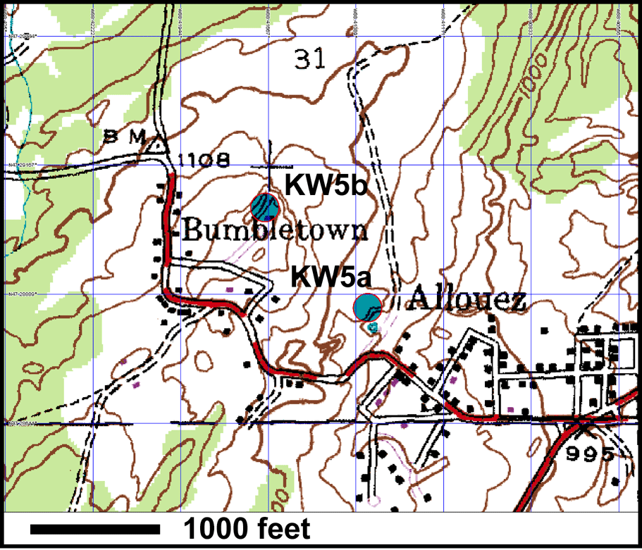
a) Allouez mine dump (conglomerate). b) Bumbletown Hill overlook and pahoehoe flows |
|
| Hungarian Falls. Crosses Keweenaw Fault. | |
| Samples of Jacobsville Sandstone. | |
| Nonesuch Shale. | |
| South Range Quarry. Portage Lake volcanics. | |
| Keweenaw Peninsula overview topographic map. |
 top
top