Miner's Falls
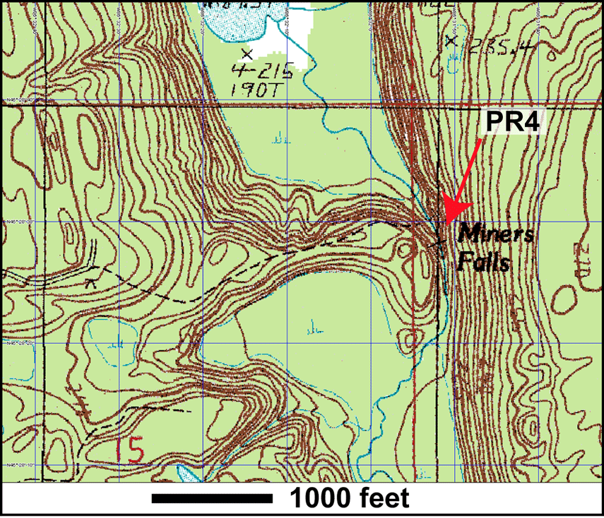
Station 4
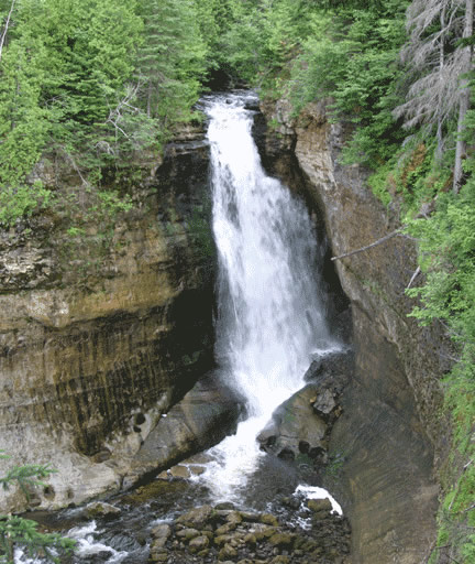
Our last stop at the Pictured Rocks National Lakeshore is the Miner's Falls. The hike is a 1.2 mile round trip hike through the woods to the 60 foot falls.
The rocks here are of probably Cambrian age, which implies Munising Formation. It is thought to be the Miner's Castle Member.
Again, we see the contour lines in the same pattern as in PR1, Munising Falls.
In the photo below, we see the 60 foot drop of Miner's Falls, the source of water being Miner's Creek. The rocks here are likely to be the Miner's Castle Member.
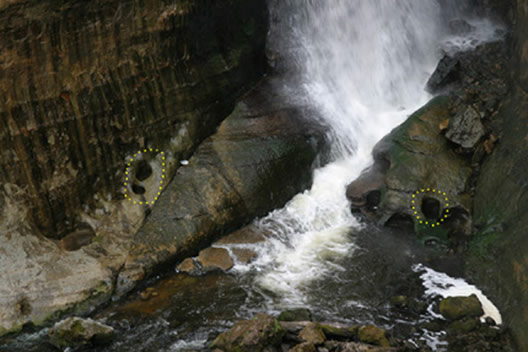
In Photo B, we see a close up of the bottom of Miner's Falls. Notice the small round holes on the walls and near the bottom where the creek continues. Those are potholes from the waterfall hitting the surface and circling, creating a hole.
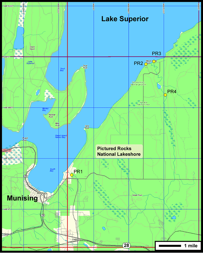 You are at PR 4. This is the end of the Pictured Rocks GeoTrip.
| Tours | Photos | Videos | References | Maps | PR Home | Home |