The Pictured Rocks National Lakeshore includes not only spectacular scenery but also fantastic geology. It was recognized as a national lakeshore in 1966, and is located just northeast of Munising. The widest point of the lakeshore is only 5 miles throughout its 40 mile stretch along the Lake Superior coast.
The Pictured Rocks are named after the various colors running through the dominant sandstone. The sandstone cliffs can be as high as 200 feet, towering over the cold Superior waters.
The Pictured Rocks date from the Late Precambrian and Cambrian seperated by an unconformity to the Early Ordovician. By looking at the geology of the Pictured Rocks area, we can begin to learn and piece together the history of this beautiful lakeshore.
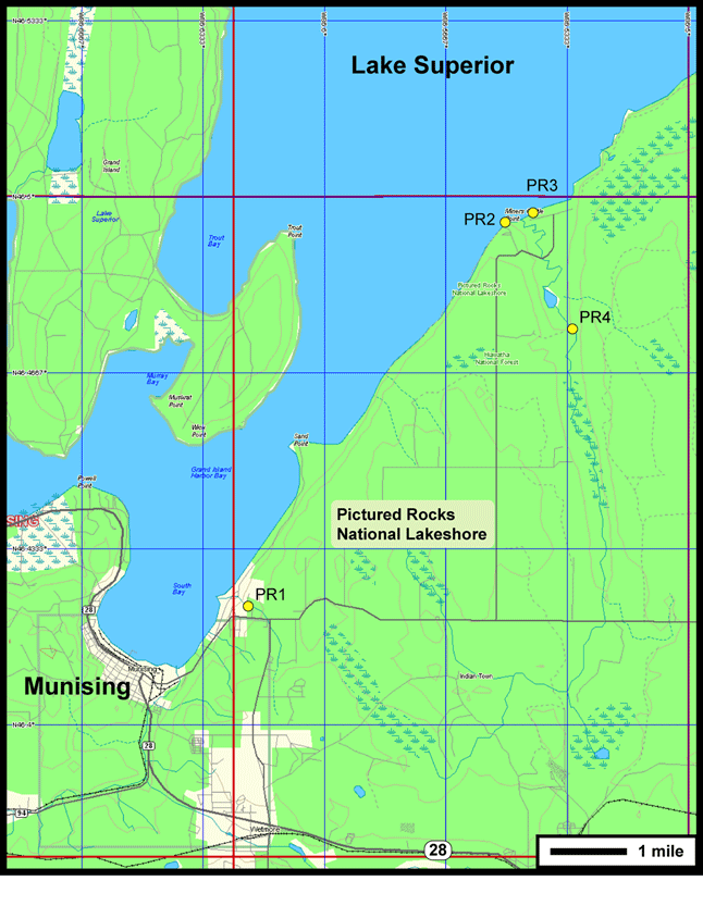
The topo map at the left does not include the entire Pictured Rocks area, but only the areas where we will be exploring: Munising Falls, Miner's Castle, Miner's Beach and Miner's Falls. To see the entire region, visit the NPS Park Map link on the brown toolbar at the bottom or visit the NPS site.
![]()
| Tours | Photos | Videos | References | Maps | PR Home | Home |